• Products
  • The Book!
  • The Photos
  • Videos
  • Ask A Local
  • Food
  • Cool Places
  • About
  • Contact

Glimpses of Charleston

A local's eye view

Berries brighten up an 1850's Charleston house and wall on a winter day

The Good ‘Ol Days

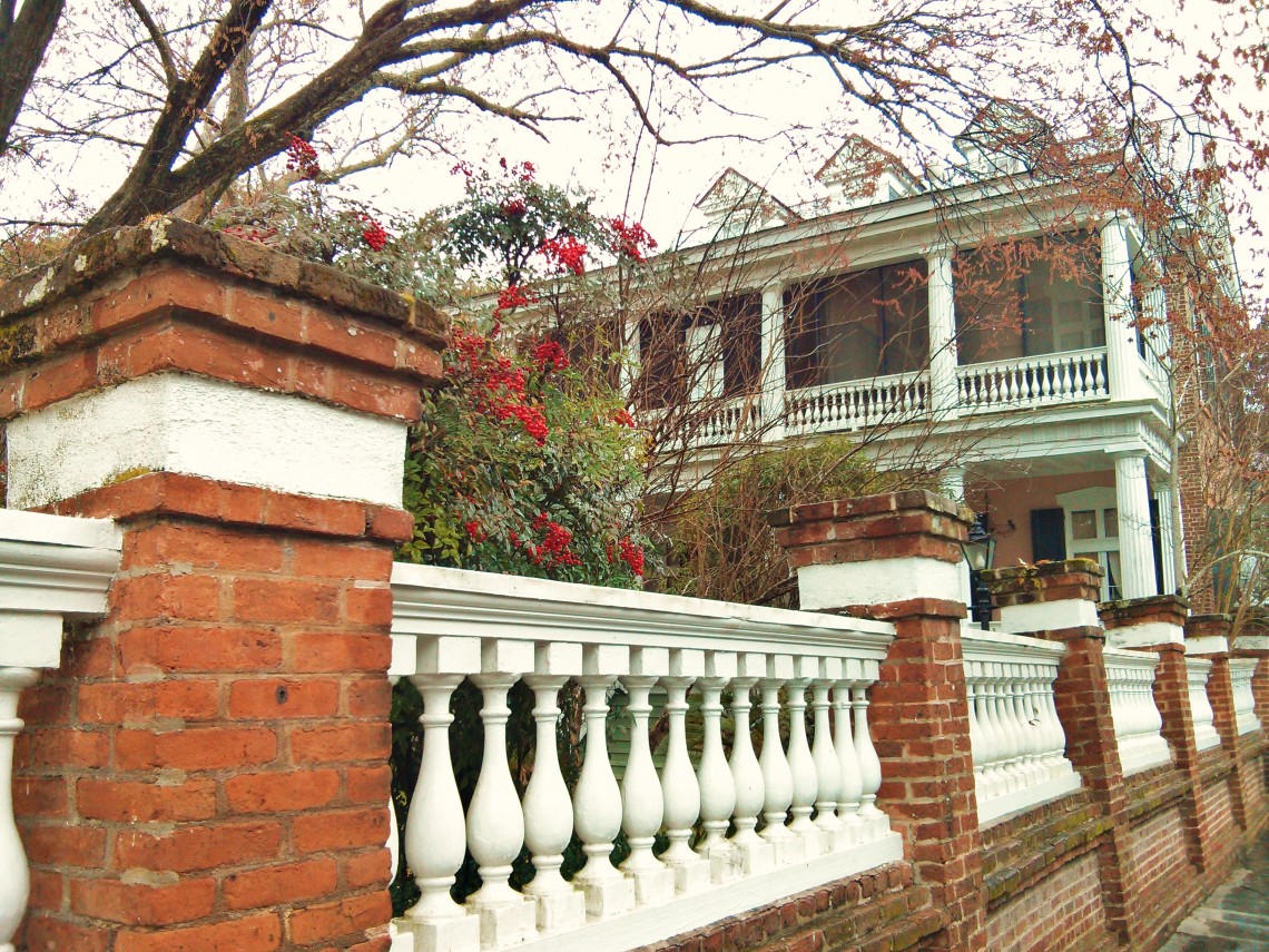
This house on Limehouse Street, built in the late 1850’s, used to have a much better view than it does today. When it was built, the old Charleston seawall was just down the block, and there would have been a great view of the marshes and river from the house. In the early 1900’s, however, a large landfill project was initiated which pushed the waterfront a couple of blocks further away. This massive undertaking created much of the Charleston peninsula as we now know it.

The Historic Charleston Foundation has developed an over-lay map  which shows the development of the peninsula over time… very cool.


Ask a Local

What’s the deal with the City Market? Were slaves sold there or not?

asks John H., from Seattle, Washington… The City Market is what was called the “Slaves’ Market,” not the “Slaves Market.”  That apostrophe makes all the difference in the world. While a shocking number of humans were sold into slavery in Charleston (a very dark period in the City’s history), they were not sold at what […]

Social Profiles

  • Facebook
  • RSS
  • Tumblr
  • Twitter
  • YouTube

Copyright © 2025, David R. AvRutick. All rights reserved.