Products
The Book!
The Photos
Videos
Ask A Local
Food
Cool Places
About
Contact
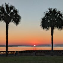
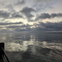
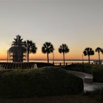
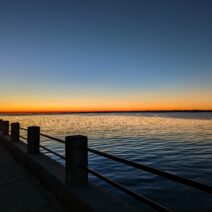
Glimpses of Charleston
A local's eye view
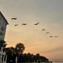
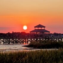
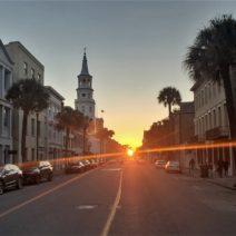
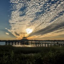
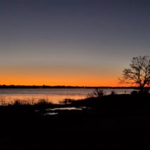
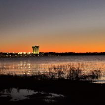
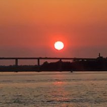
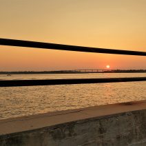
Sunrise/Sunset
1
2
3
…
5
Next Page »